
Finad2025 (cohort)
Skill Level: Beginner
Skill Level: Beginner

Skill Level: Beginner

Skill Level: Beginner

Skill Level: Beginner

M027-2324T05
Skill Level: Beginner

Learn QGIS for hydrological applications, recipes for catchment hydrology and water management.
Skill Level: Beginner
Skill Level: Beginner
In this course you'll learn essential scripting and programming skills for researchers dealing with (spatial) data.
Skill Level: Beginner

This course provides recipes for catchment hydrology and water management, and introduces new QGIS plugins, features and datasets that greatly improve the workflow and user experience.
- Module/Course coordinator: Hans Kwast
Skill Level: Beginner

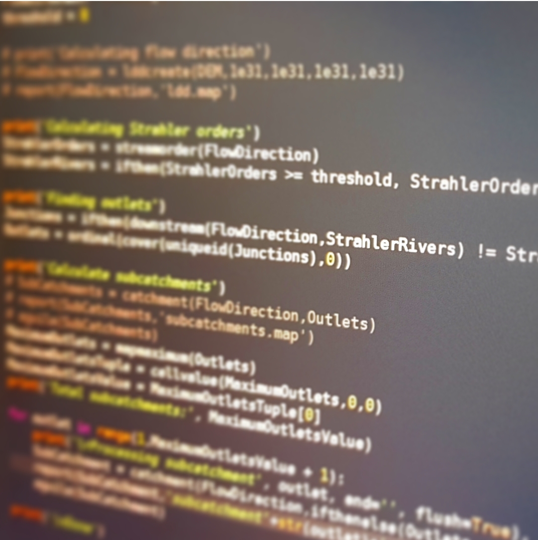
In this
course you'll learn an essential skill for researchers dealing with
(spatial) data. With scripting you can better control your analysis
using command line tools. You can also automate your procedures by
writing batch scripts. Furthermore, you can process your data and make
models using Python and its useful libraries.
Skill Level: Beginner
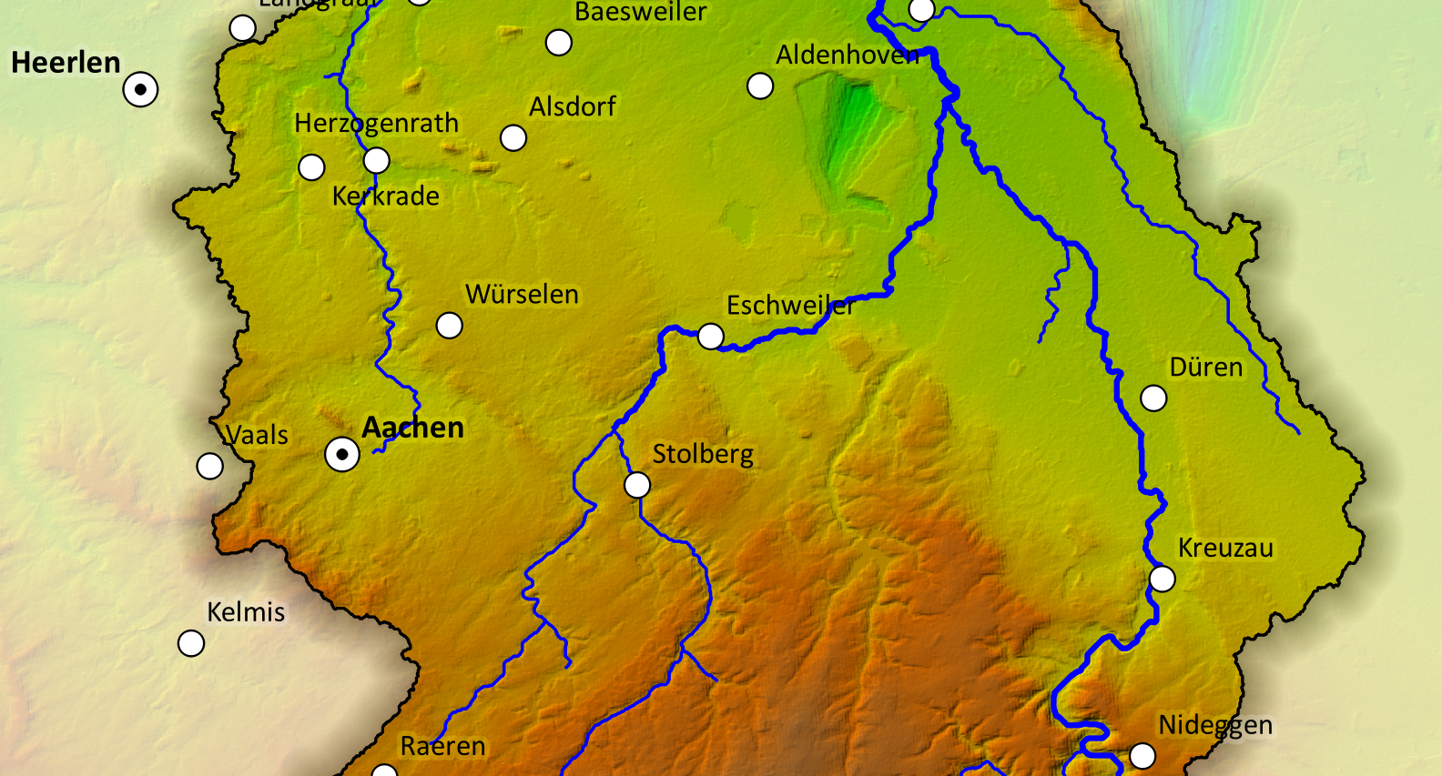
Short course QGIS for Hydrological Applications
Skill Level: Beginner
- Module/Course coordinator: Patricia Darvis
- Module/Course coordinator: Raquel dos Santos - de Quaij
- Module/Course coordinator: Michelle Kooy
- Module/Course coordinator: Jenniver Sehring
- Module/Course coordinator: Loes Westerveen
Skill Level: Beginner
Skill Level: Beginner